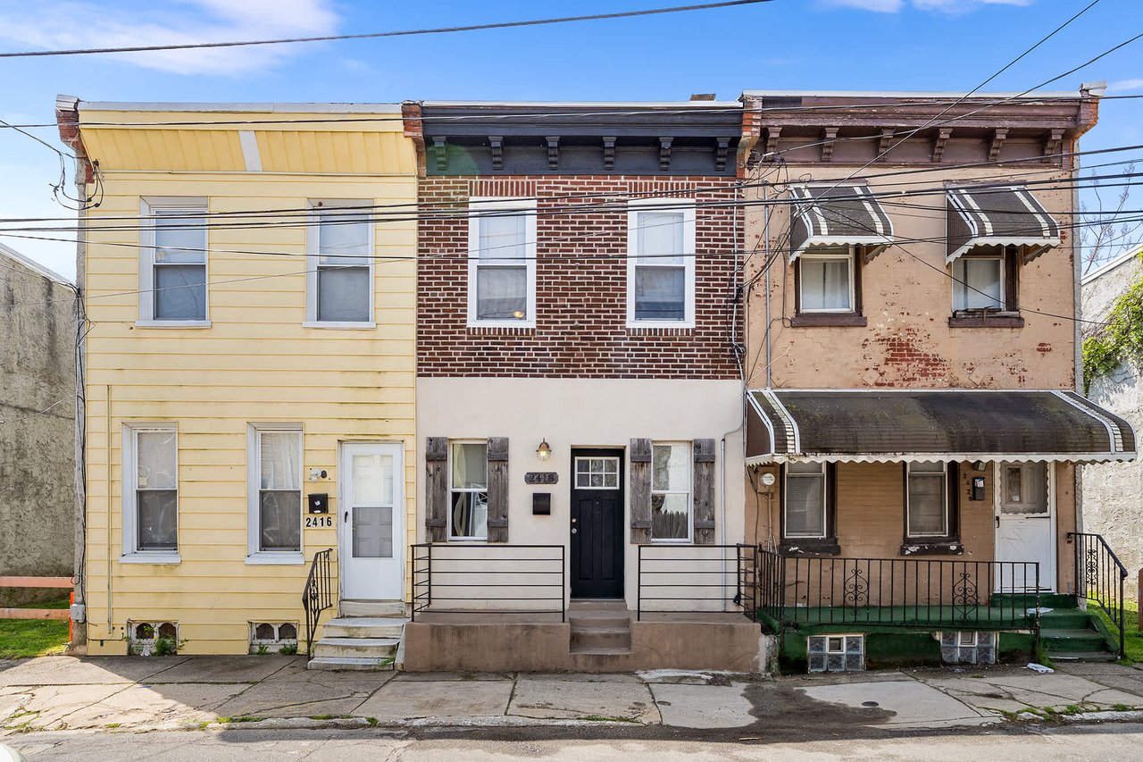
10,841 people live in Brewerytown, where the median age is 35 and the average individual income is $42,075. Data provided by the U.S. Census Bureau.
Total Population
Median Age
Population Density Population Density This is the number of people per square mile in a neighborhood.
Average individual Income
There's plenty to do around Brewerytown, including shopping, dining, nightlife, parks, and more. Data provided by Walk Score and Yelp.
Explore popular things to do in the area, including Rice & Sambal, La Petite Tasse, and Pray Tell.
| Name | Category | Distance | Reviews |
Ratings by
Yelp
|
|---|---|---|---|---|
| Dining | 3.74 miles | 10 reviews | 5/5 stars | |
| Dining | 1.34 miles | 8 reviews | 5/5 stars | |
| Dining | 2.36 miles | 5 reviews | 5/5 stars | |
| Dining | 0.82 miles | 6 reviews | 5/5 stars | |
| Dining | 1.89 miles | 6 reviews | 5/5 stars | |
| Dining | 1.88 miles | 10 reviews | 5/5 stars | |
| Dining | 2.15 miles | 6 reviews | 5/5 stars | |
| Shopping | 4.03 miles | 29 reviews | 5/5 stars | |
| Active | 2.08 miles | 9 reviews | 5/5 stars | |
| Active | 2.71 miles | 12 reviews | 5/5 stars | |
| Active | 1.87 miles | 44 reviews | 5/5 stars | |
| Active | 2.61 miles | 8 reviews | 5/5 stars | |
| Active | 2.19 miles | 7 reviews | 5/5 stars | |
| Active | 2.8 miles | 5 reviews | 5/5 stars | |
| Active | 2.4 miles | 6 reviews | 5/5 stars | |
| Nightlife | 2.04 miles | 10 reviews | 5/5 stars | |
| Nightlife | 2.5 miles | 6 reviews | 5/5 stars | |
| Beauty | 2.19 miles | 18 reviews | 5/5 stars | |
| Beauty | 0.87 miles | 19 reviews | 5/5 stars | |
| Beauty | 2.16 miles | 6 reviews | 5/5 stars | |
| Beauty | 1.84 miles | 18 reviews | 5/5 stars | |
| Beauty | 0.84 miles | 14 reviews | 5/5 stars | |
|
|
||||
|
|
||||
|
|
||||
|
|
||||
|
|
||||
|
|
Brewerytown has 5,047 households, with an average household size of 2. Data provided by the U.S. Census Bureau. Here’s what the people living in Brewerytown do for work — and how long it takes them to get there. Data provided by the U.S. Census Bureau. 10,841 people call Brewerytown home. The population density is 33,631.299 and the largest age group is Data provided by the U.S. Census Bureau.
Total Population
Population Density Population Density This is the number of people per square mile in a neighborhood.
Median Age
Men vs Women
Population by Age Group
0-9 Years
10-17 Years
18-24 Years
25-64 Years
65-74 Years
75+ Years
Education Level
Total Households
Average Household Size
Average individual Income
Households with Children
With Children:
Without Children:
Marital Status
Blue vs White Collar Workers
Blue Collar:
White Collar:
We believe that sellers and buyers are best represented by dedicated, licensed professionals who are faithful to the REALTOR® Code of Ethics. We are committed to the continued education of our agents and staff with latest technology, market knowledge and hands-on Broker management.
CHESTNUT HILL
8039 Germantown Ave. Philadelphia, PA 19118
(215) 247-3600
RITTENHOUSE SQUARE
2000 Pine Street
Philadelphia, PA 19103
(215) 893-9920
FLOURTOWN / REO
1511 Bethlehem Pike
Flourtown, PA 19031
(215) 242-4050
FISHTOWN
2006 Frankford Ave. Philadelphia, PA 19125
(215) 866-0050
SPRING ARTS
990 Spring Garden St.
Suite 701
Philadelphia, PA 19123
(215) 278-9100